Improving avalanche safety for backcountry adventurers

In Canada, an average of 11 people die in avalanches each winter, with most fatalities occurring through backcountry activities such as mountain snowmobiling, backcountry skiing, or snowshoeing. Global data is limited, but across North America and Europe, this number totals about 140.
With generous support from Avalanche Canada and HeliCat Canada, SFU School of Resource and Environmental Management professor Pascal Haegeli is developing tools to help outdoor enthusiasts of all skill levels make better-informed decisions when venturing into avalanche-prone areas.
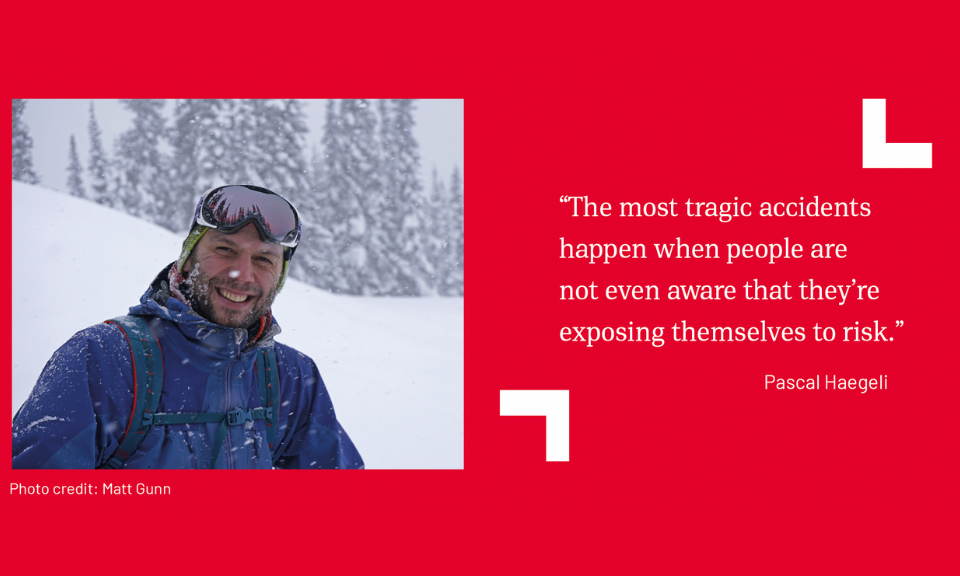
“The most tragic accidents happen when people are not even aware that they’re exposing themselves to risk,” says Pascal.
This vital funding supports graduate students supervised by Pascal in the Faculty of Environment’s SFU Avalanche Research Program (SARP), which advances innovative solutions for both the environmental and human aspects of managing risk more effectively.
Pascal's research is practical, working closely with industry partners to make real-world impacts. His collaboration with Avalanche Canada influences how avalanche hazards are assessed and communicated to the public. HeliCat, the trade association of the Canadian helicopter and snowcat skiing industry, is using SARP research to better understand and support operational terrain use practices, trends in accident rates, and the effectiveness of safety equipment.
One key research area is snowpack modeling, which involves using computer programs to simulate how seasonal snow conditions evolve based on weather forecast model outputs. These models can offer a valuable additional stream of observations in otherwise data-sparse regions. However, it is critical to develop methods that continuously check the accuracy of simulations and help practitioners better understand the models’ strengths and weaknesses. In a recent collaboration with Environment and Climate Change Canada and the University of Sherbrooke in Quebec, Pascal and his team looked at how different sources of snowfall data affect snowpack simulations for avalanche forecasting.
The SARP team also focuses on terrain modeling, mapping how exposed slopes are to potential avalanches across Western Canada’s vast mountain ranges and generating information that can assist the decision and avalanche risk management process of recreationists and professional guides.
“One of my students contributed to a model that can automatically assess the severity of avalanche terrain based on steepness, orientation, and other factors,” Pascal explains. “These maps have traditionally been done manually by avalanche experts, and that’s just too expensive to do for all of Western Canada.”
Another crucial aspect of Pascal’s research is to better understand how backcountry enthusiasts interpret daily avalanche forecasts and how this information can be improved to make it more accessible and useful for users. For example, a recent study on snowshoers and winter hikers found that many not only didn’t know they were exposing themselves to avalanche hazards, they were unaware a public avalanche forecast existed.
“That’s not necessarily their fault.” says Pascal. “We need to do a better job providing the necessary information in a way they can understand.”
Pascal says support from Avalanche Canada and HeliCat Canada not only advances avalanche science but also prepares students for careers in the industry. He notes that collaborations across SFU and travel opportunities for students to attend conferences and build networks with industry partners are key to the research program’s success.
“All of this wouldn’t be possible without support from the industry,” he says.
Ultimately, Pascal says his goals align with those of his industry partners: to ensure that everyone—from seasoned guides to casual backcountry visitors—can maximize their enjoyment of Canada's expansive and beautiful mountains while minimizing the risk.


